The Engineers Ireland course Integrated Catchment Management - Mapping River Corridors - Online Classroom which will take place on Thursday, 27 June, via Zoom

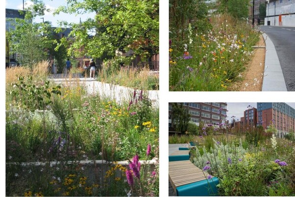
Course Objectives: The course focuses on the methodology developed to aid in the delineation of floodplain boundaries using morphological features to identify functional riparian zones - the end goal being to provide the basis for sustainable zoning policies that provide “room for the river” which in time allow river systems to return to a state of equilibrium with rich biodiversity, developed ecosystem service provision and resilience to future shocks such as climate change. Doing this will aid in meeting our objectives under the Water Framework and Floods Directives. The many benefits of delineating riparian lands are discussed and as well as the process for establishing the preferred assessment methodologies.
Those attending this course will also gain an understanding of:
- Catchment pressures and impacts
- The importance of Water quality and the role of Nature-based Solutions within and outside river corridors - based around local needs and local pressures
- Ecology and Biodiversity - biodiversity action plans and wider green infrastructure strategies
- The considerations for establishing appropriate locations for Public Access and Amenity
- The compatibility and conflicts between the key drivers of Sustainable Stormwater Management